 |
 |
 |
 |
 |
|
|
|
| 0 | 0 | 6 | 0 |
 |
|
|
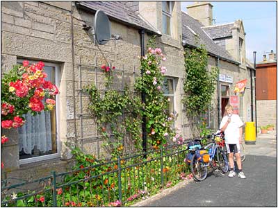
Reay
Shop - Ice Creams!
|
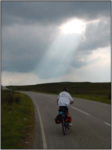
Climbing
up from Douneray.
|
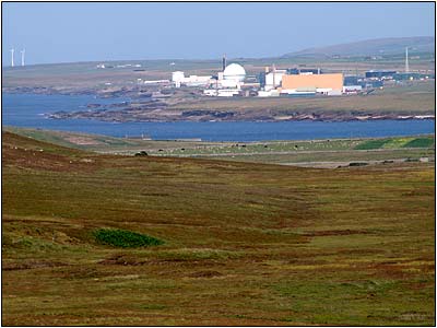 Douneray
- nukebox. Douneray
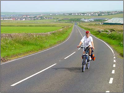
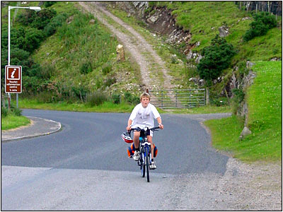
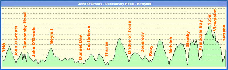
- nukebox.The hills were relentless, we had a couple of stops and pulled over by the view point a Bettyhill. Stopping here was an error, the midge attack was the worst ever, within seconds we were covered, even breathing the things in. They ignored all the lotions and repellants that we had. It was a very quick picture an then flee down the valley to Bettyhill. |
 |
|
|
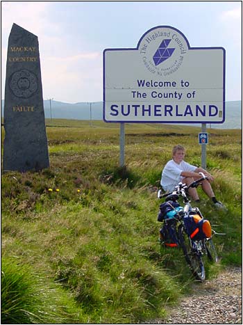
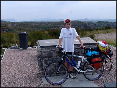
Entering
Mackay country.
|
 |
 |
 |
 |
|
Bettyhill
Viewpoint - worst midges in world - ever!
|
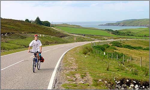
Climbing
to Bettyhill.
|
 |
As if we hadn't climbed far enough the B&B was at the top another big hill, but we were glad to get there. It was about 7pm when we arrived. We walked back down to the coast and had a superb meal at th Farr Bay Hotel. |
 |
|
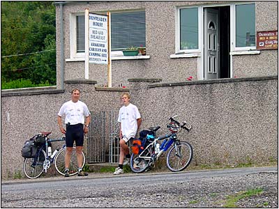
Bettyhill
-Dunveaden House B&B
|
|
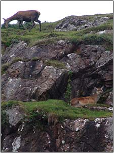
Back
garden!
|
|
 VIEW ALL PROFILES  
|
|
 |
 |
 |
 |
 |